Back to Products
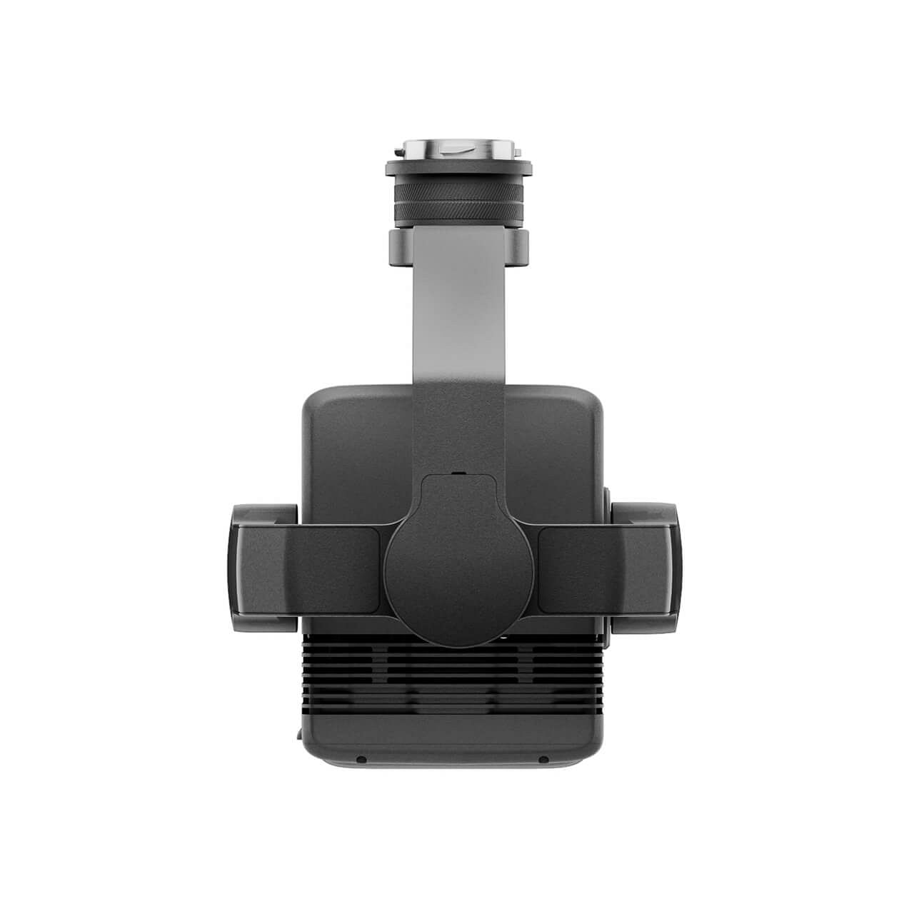
Zenmuse L2
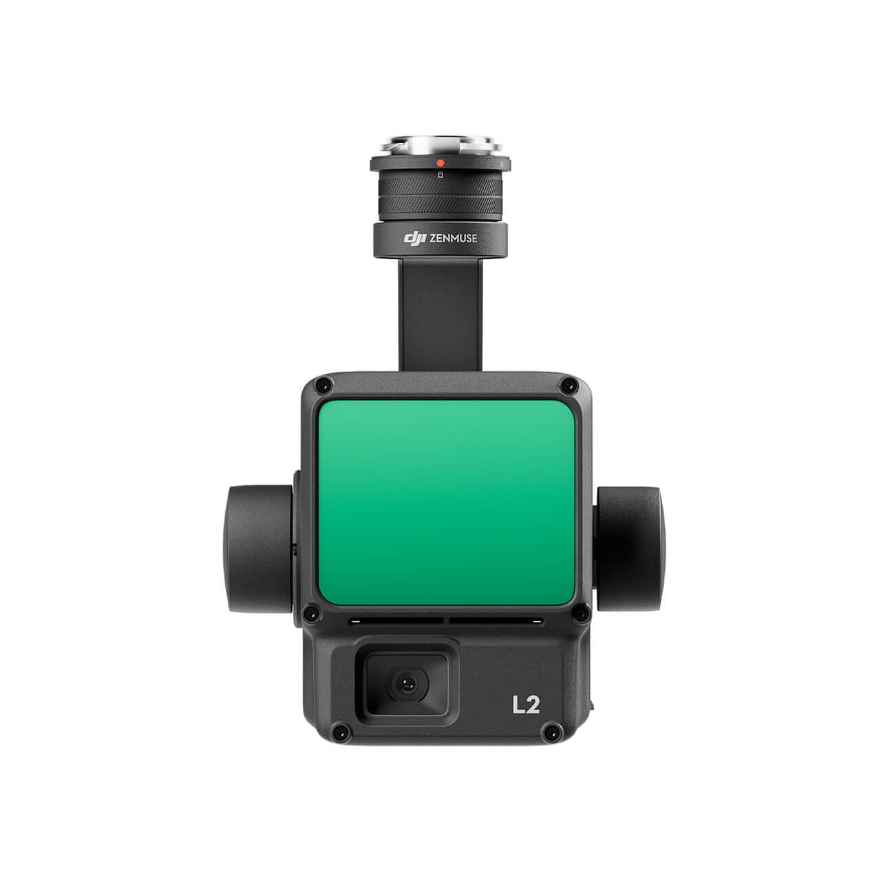
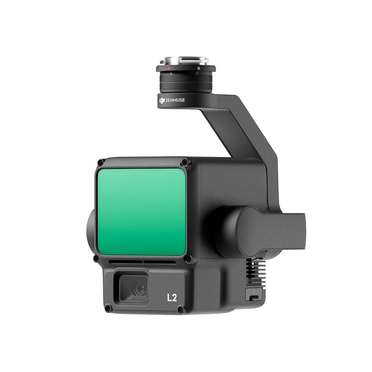
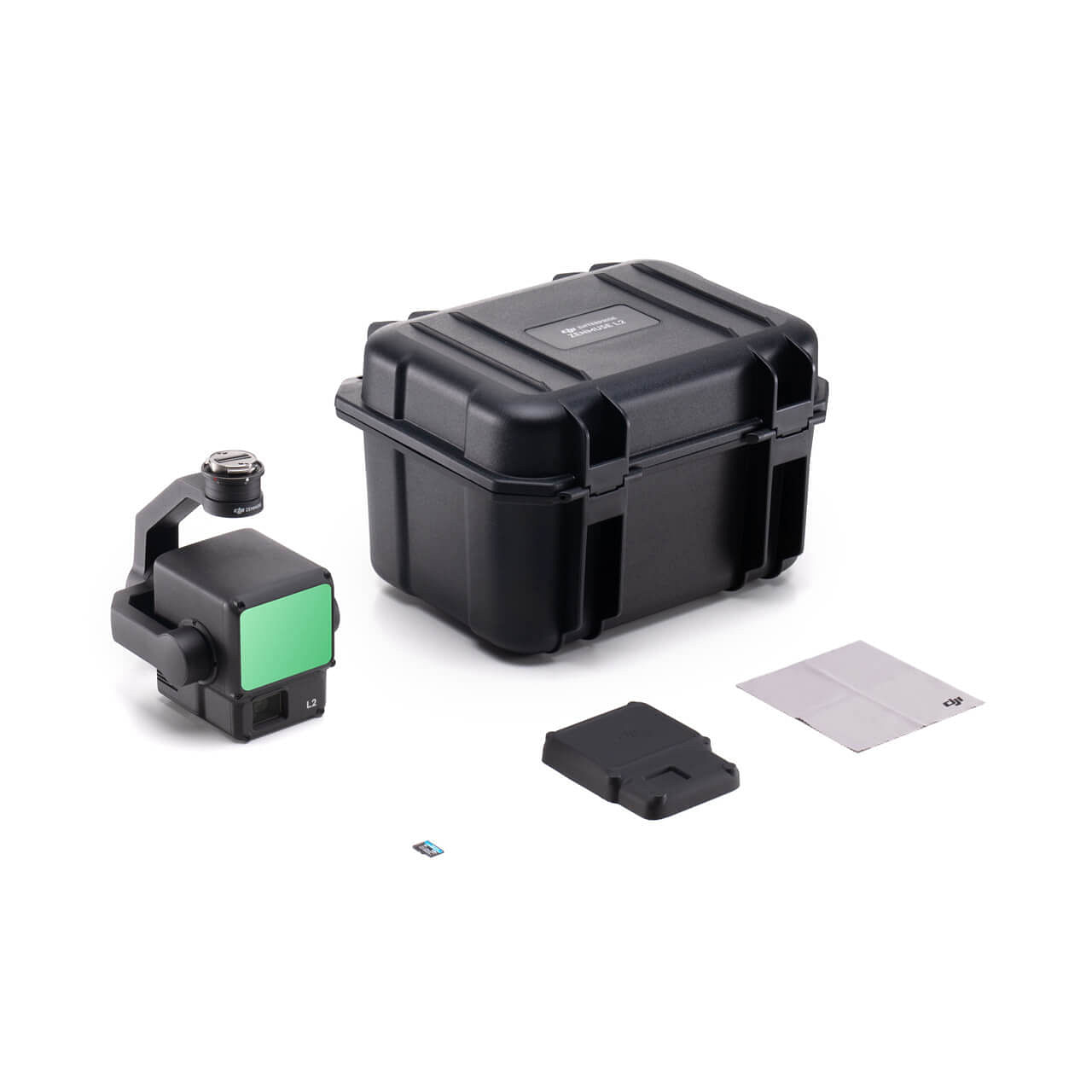
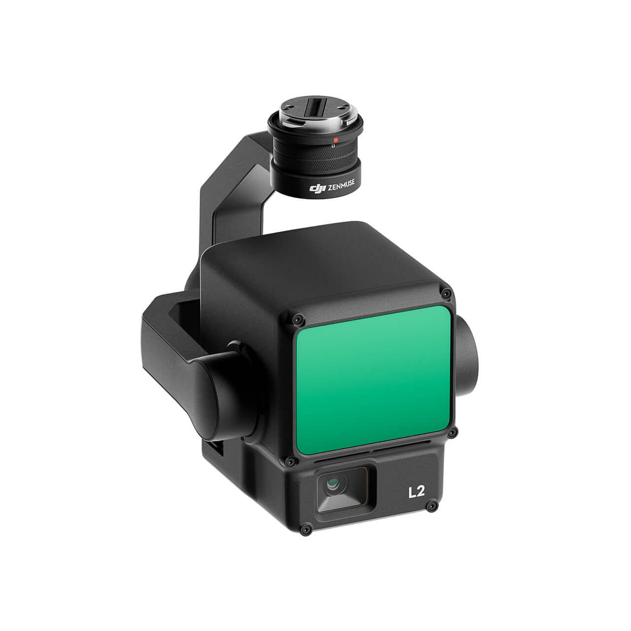
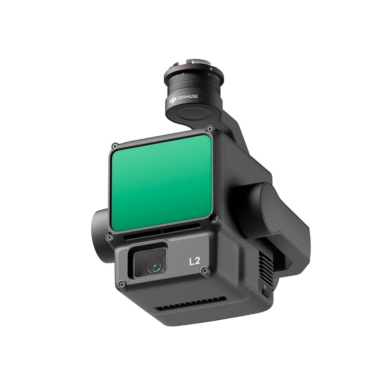
The Zenmuse L2 integrates frame LiDAR, a self-developed high-accuracy IMU system, and a 4/3 CMOS RGB mapping camera, providing DJI flight platforms with more precise, efficient, and reliable geospatial data acquisition. When used with DJI Terra, it delivers a turnkey solution for 3D data collection and high-accuracy post-processing.
High Precision
Exceptional Efficiency
Superior Penetration
250m/450m Detection Range
5 Returns
Turnkey Solution
Point Cloud LiveView
One-Click Processing on DJI Terra
We specialize in end-to-end business solutions for UAV Operations. We offer the latest hardware, software, accessories, and up to date training for Enterprise applications. We cater to multiple industries such as Oil & Gas, Public Safety, Infrastructure, Agriculture, and many more. Let us help you build and scale your UAV program!