Products
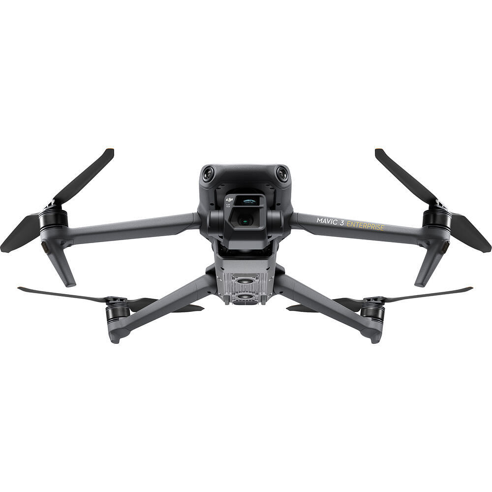
Consumer Drones

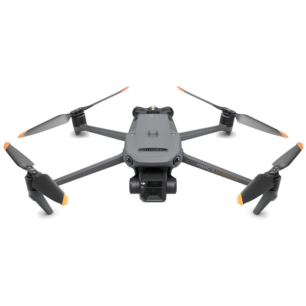
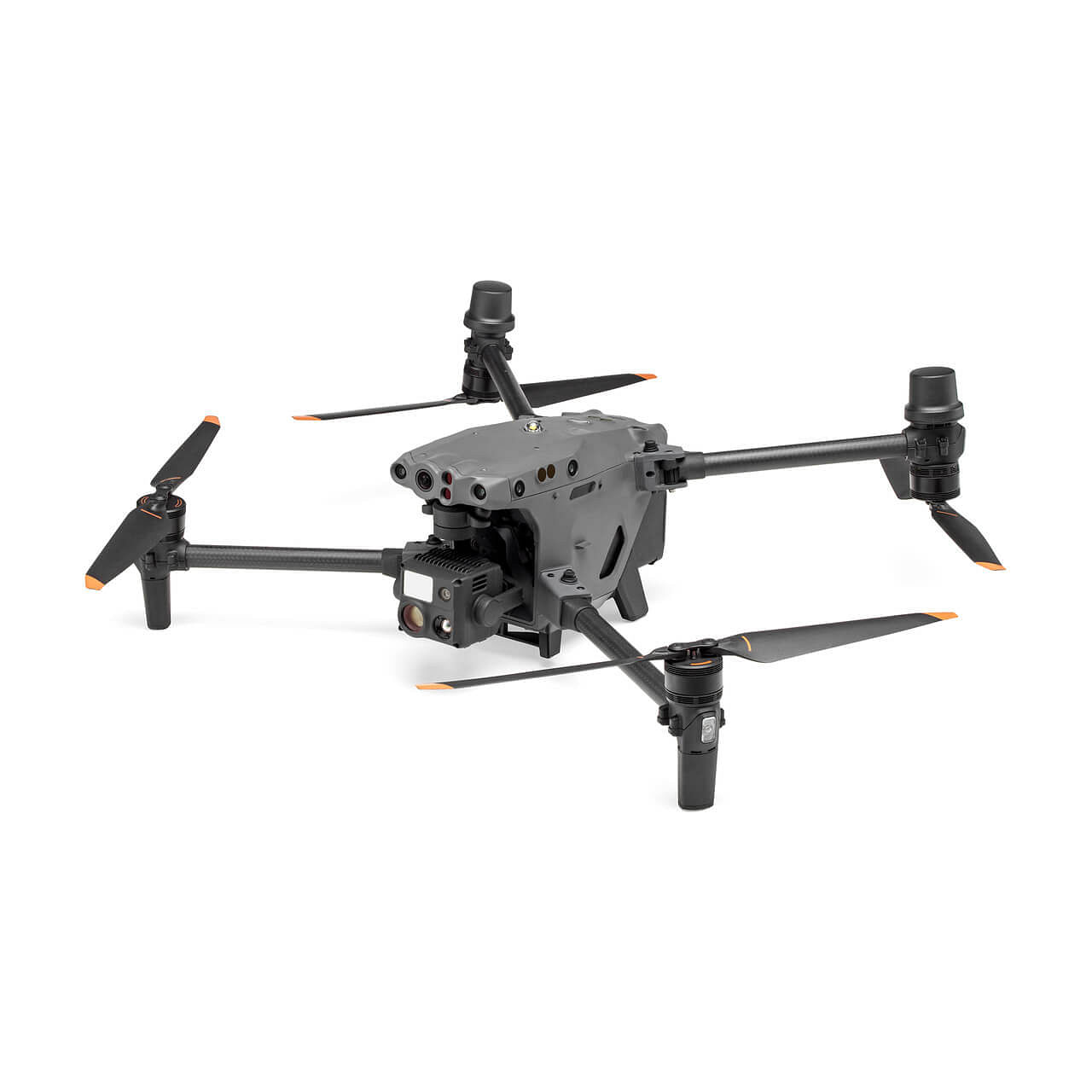
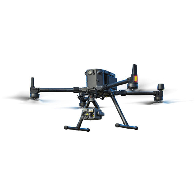
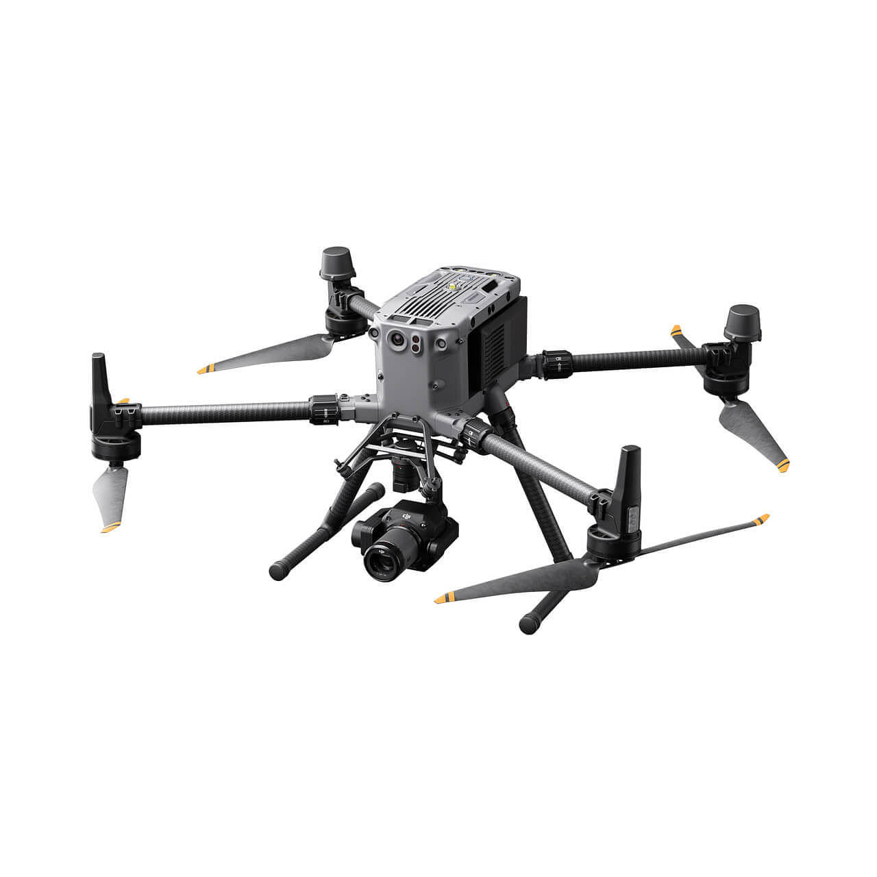
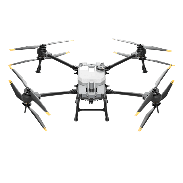
Enterprise Drones
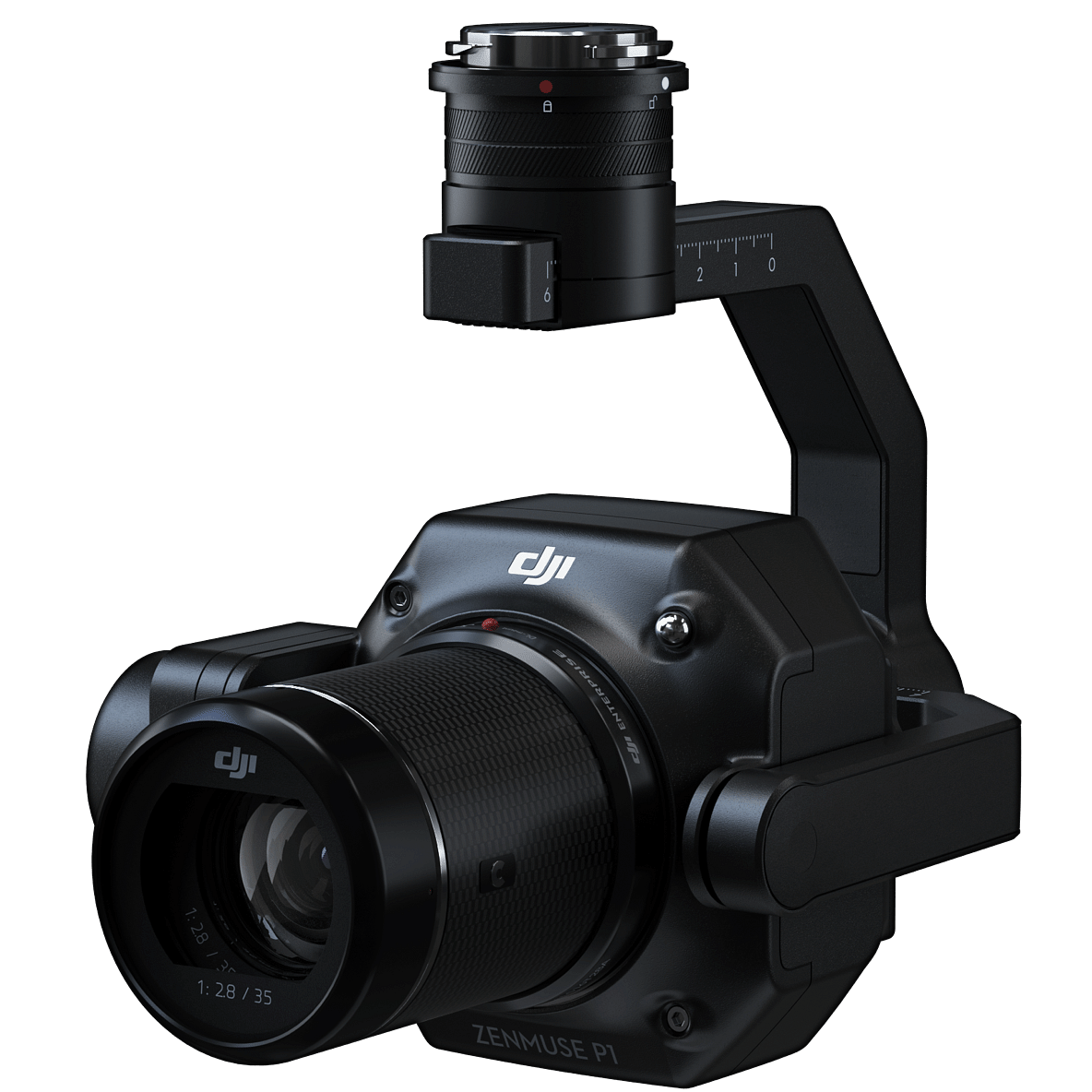
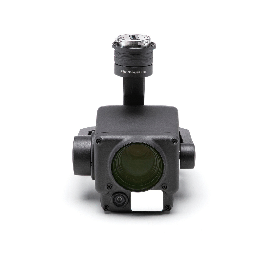
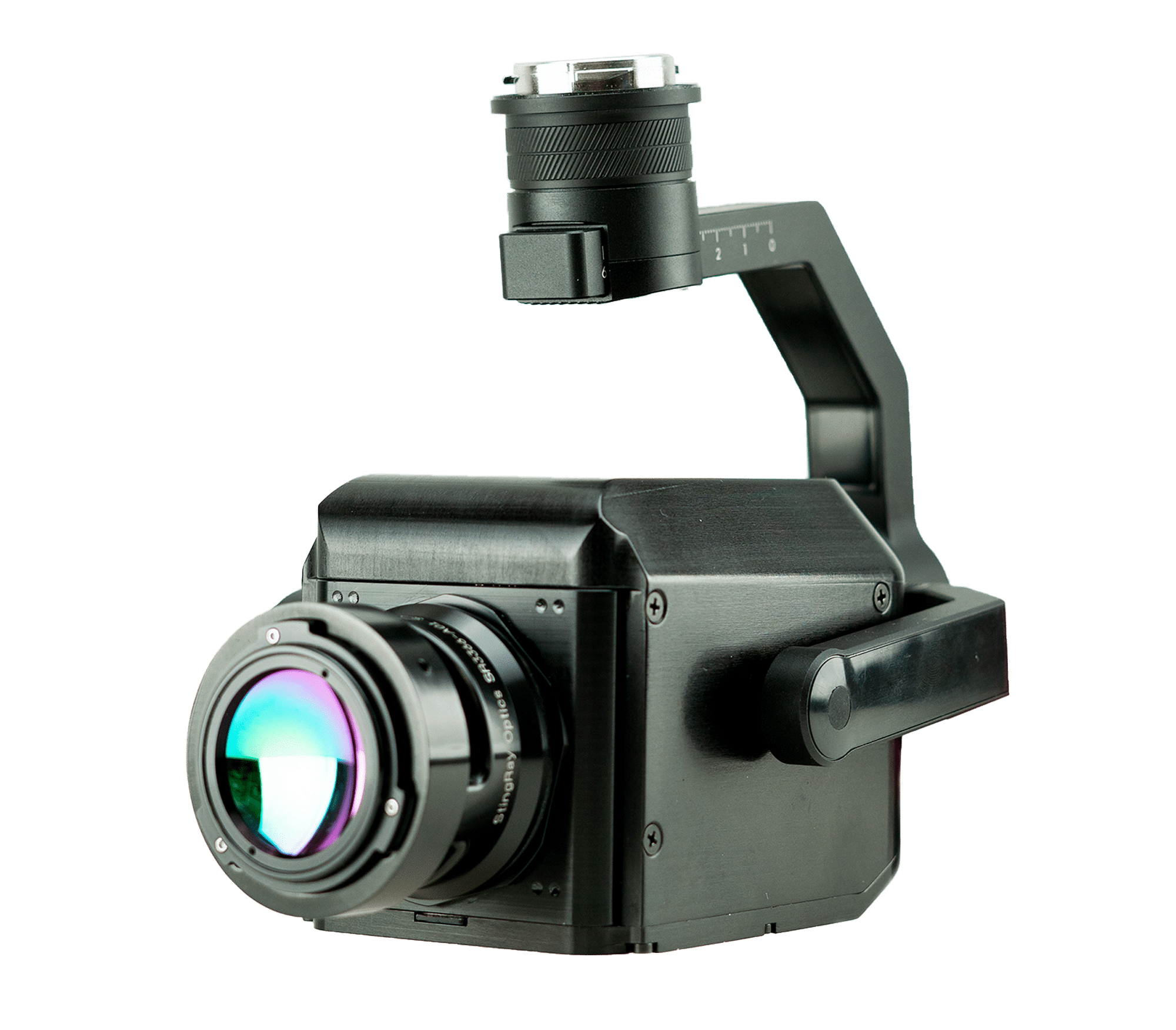
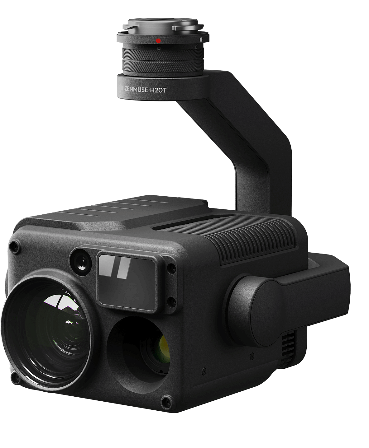
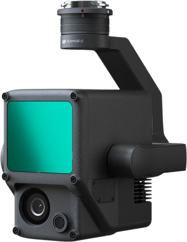
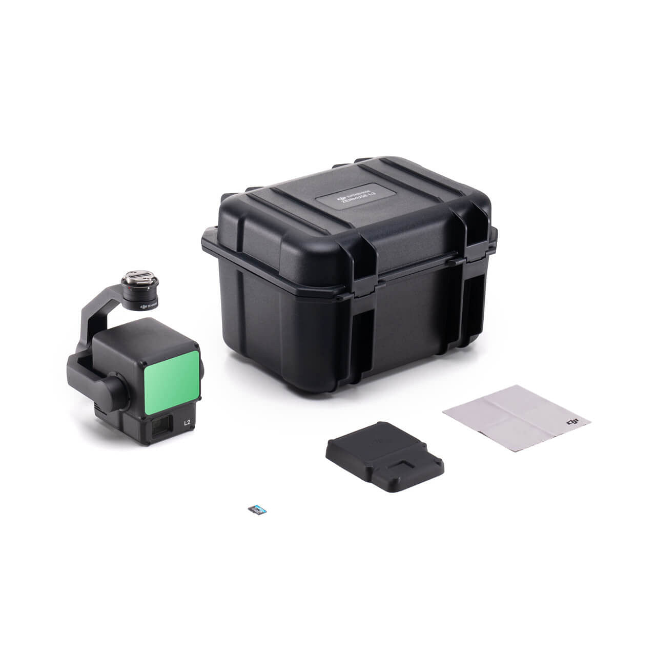
Drone Cameras

Payloads


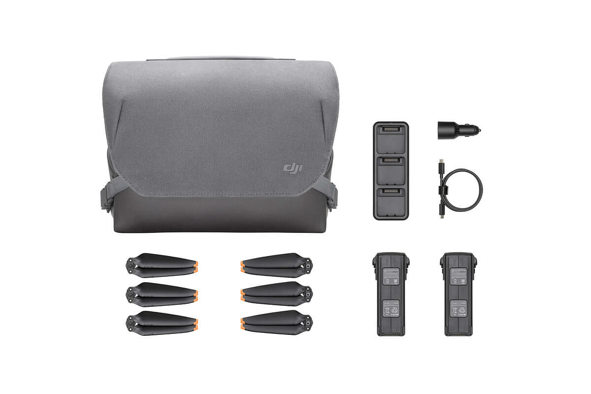
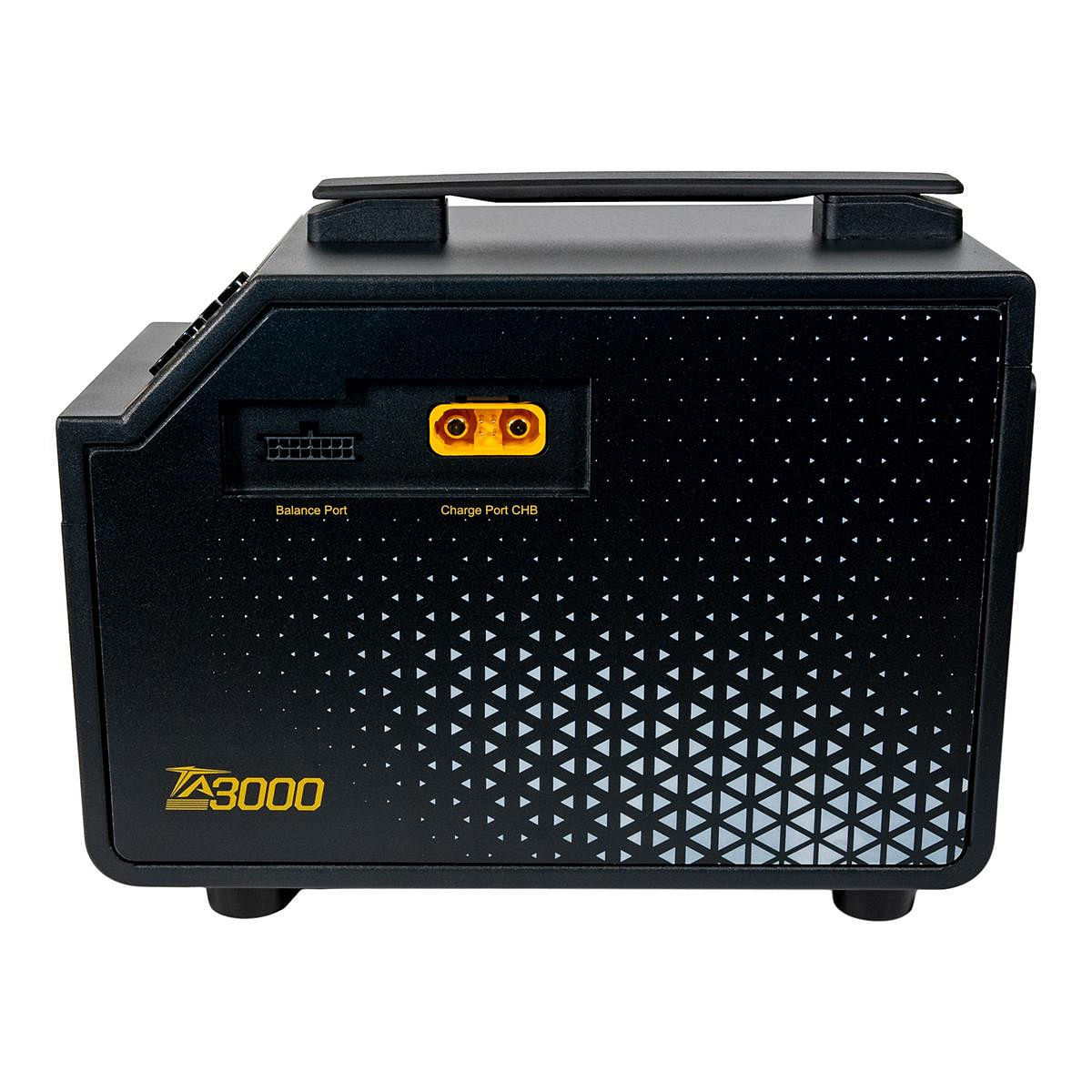
Batteries / Chargers


The name to trust for drone solutions in the beautiful state of Texas!
We specialize in end-to-end business solutions for UAV Operations. We offer the latest hardware, software, accessories, and up to date training for Enterprise applications. We cater to multiple industries such as Oil & Gas, Public Safety, Infrastructure, Agriculture, and many more. Let us help you build and scale your UAV program!