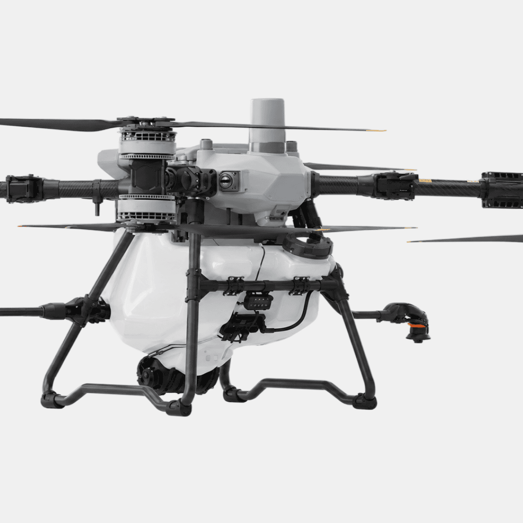
Aerial intelligence for agriculture.

See your fields like never before. Multispectral, thermal, and high-resolution sensors to monitor crop health, optimize inputs, and improve yields.

Aerial intelligence for agriculture.

See your fields like never before. Multispectral, thermal, and high-resolution sensors to monitor crop health, optimize inputs, and improve yields.

Aerial intelligence for agriculture.

See your fields like never before. Multispectral, thermal, and high-resolution sensors to monitor crop health, optimize inputs, and improve yields.

Aerial intelligence for agriculture.

See your fields like never before. Multispectral, thermal, and high-resolution sensors to monitor crop health, optimize inputs, and improve yields.

Aerial intelligence for agriculture.

See your fields like never before. Multispectral, thermal, and high-resolution sensors to monitor crop health, optimize inputs, and improve yields.

WHY DRONES, WHY NOW

Field-level intelligence for every acre you farm.

Crops don't fail all at once, and problems are hard to see from the ground. Drones give your operation a clear, repeatable view from above, with multispectral and thermal sensors that reveal stress, irrigation issues, and pest pressure early enough to act.

Scout entire fields in a single flight

Spot crop stress before it's visible from the ground

Target inputs to reduce waste and cost

Track field health across the whole season

USE CASES

Built for the work that grows the harvest.

From scouting to yield estimation, our platforms support growers and agronomists every day.

Crop health monitoring

Crop health monitoring

Map plant health with multispectral imaging to reveal stress, disease, and nutrient deficiency long before it's visible at ground level.

Multispectral

Multispectral

Whole-field scouting

Whole-field scouting

Irrigation and drainage analysis

Irrigation and drainage analysis

Use thermal imaging to spot dry zones, leaks, and drainage issues, so water goes where it's needed and not where it's wasted.

Thermal water stress

Thermal water stress

Reduce water waste

Reduce water waste

Variable-rate input planning

Structure fire

support

Turn aerial maps into prescriptions for variable-rate application, targeting fertilizer and chemicals to the acres that need them.

Targeted inputs

Targeted inputs

Lower cost

Lower cost

Yield estimation and field records

Yield estimation and field records

Track field performance across the season with dated maps for yield estimation, insurance, and planning.

Dated records

Dated records

Season tracking

Season tracking

SENSOR CAPABILITIES

The technology behind every flight.

The technology behind every flight.

01 / Multispectral

Crop health mapping

NDVI and other indices reveal stress, disease, and nutrient deficiency before the eye can see them.

02 / Thermal

Radiometric thermal imaging

Reveal irrigation issues, dry zones, and drainage problems across the whole field.
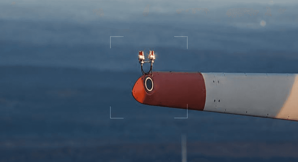
03 / Optical

High-resolution cameras

Detailed RGB imagery for scouting, stand counts, and dated visual records.

04 / Range

Long-range flight

Cover large acreage per mission with up to 55 minutes of flight time.

WHO WE SERVE

Trusted by teams in every industry that flies.

LET'S GET YOU FLYING

Ready to scale your UAV program?

Whether you're buying your first drone or building out a fleet, our team is ready to help. Schedule a call, drop by the showroom, or send us a note.

10415-A Westpark Dr. Houston, TX 77042

Monday — Friday: 8:30AM-5:30PM

281-822-9892

marketing@linkedall.com

We deliver complete UAV solutions—from hardware and software to training—for industries like Oil & Gas, Public Safety, Infrastructure, and Agriculture. Let us help you launch and scale your UAV program.

SUBSCRIBE NOW

© 2025 LinkedAll Aerial Solutions. All rights reserved.