Aerial intelligence for construction.

Track progress, survey sites, and keep projects on schedule from the air. Accurate aerial data for every phase, from groundbreaking to handover.

Aerial intelligence for construction.

Track progress, survey sites, and keep projects on schedule from the air. Accurate aerial data for every phase, from groundbreaking to handover.

Aerial intelligence for construction.

Track progress, survey sites, and keep projects on schedule from the air. Accurate aerial data for every phase, from groundbreaking to handover.

Aerial intelligence for construction.

Track progress, survey sites, and keep projects on schedule from the air. Accurate aerial data for every phase, from groundbreaking to handover.

Aerial intelligence for construction.

Track progress, survey sites, and keep projects on schedule from the air. Accurate aerial data for every phase, from groundbreaking to handover.

WHY DRONES, WHY NOW

Aerial data that keeps every project on schedule.

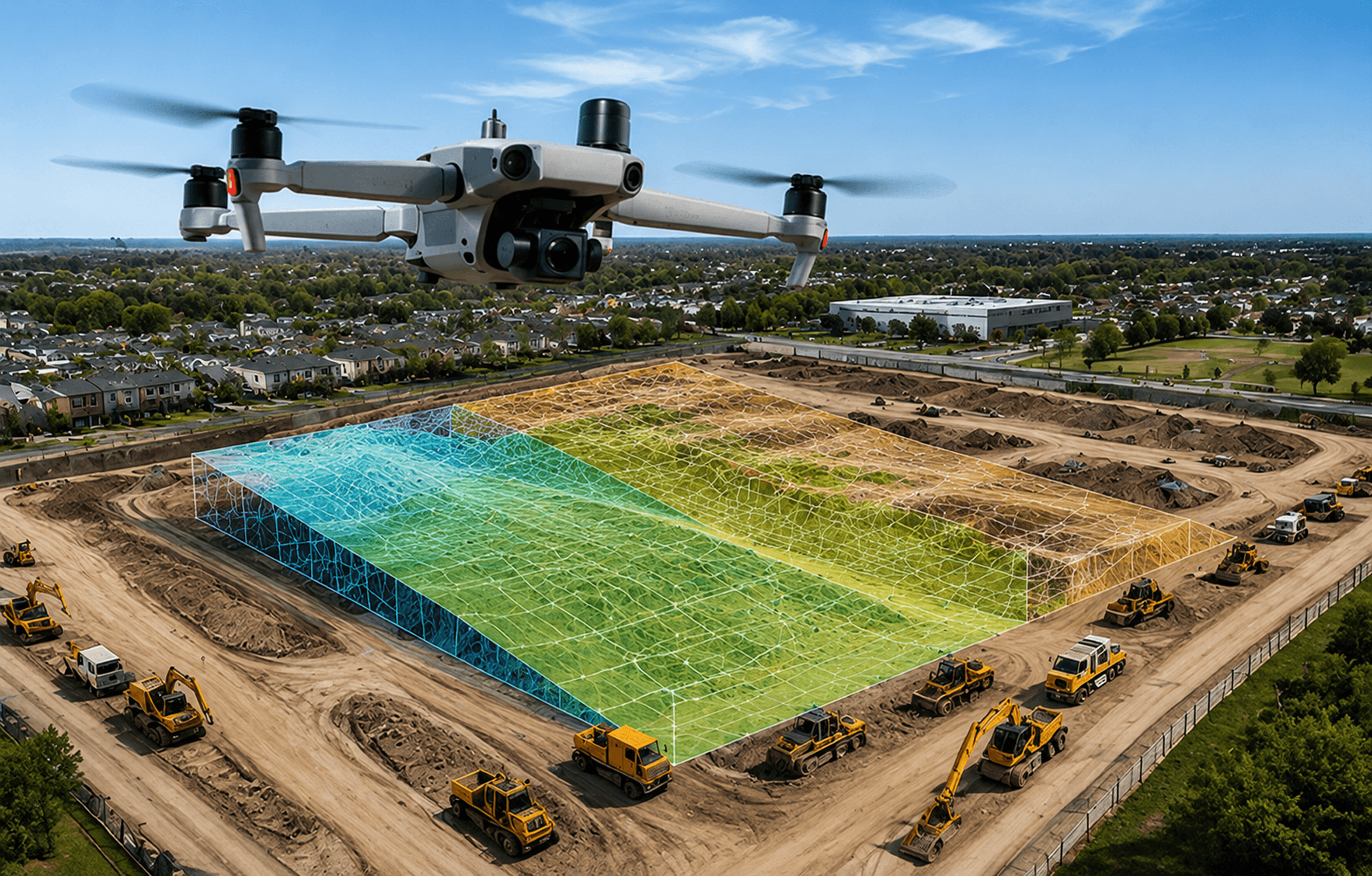
Job sites change daily, and ground surveys can't keep up. Drones give your team accurate, repeatable aerial data, with photogrammetry and LiDAR that track progress, measure volumes, and catch issues before they cost time and money.

Survey an entire site in a single flight

Track progress with repeatable, dated imagery

Measure stockpiles and earthwork volumes accurately

Share a clear visual record with every stakeholder

USE CASES

Built for the work that breaks ground and builds.

From site planning to final handover, our platforms support contractors and project teams every day.
Site surveying and mapping

Site surveying and mapping

Capture survey-grade orthomosaics and topographic maps of the full site in one flight, ready for design, planning, and grading.

Survey-grade maps

Survey-grade maps

Acres per flight

Acres per flight

Progress tracking

Progress tracking

Fly the same site on a schedule to build a dated visual timeline, compare against plans, and keep owners and stakeholders aligned.

Repeatable flights

Repeatable flights

Dated records

Dated records

Volume and earthwork measurement

Structure fire

support

Measure stockpiles, cut-and-fill, and material volumes from aerial data, replacing slow and risky manual surveys.

Accurate volumes

Accurate volumes

No manual survey

No manual survey

Inspection and documentation

Inspection and documentation

Inspect structures, roofs, and hard-to-reach areas safely, and document conditions for quality control and dispute resolution.

Safe access

Safe access

Audit-ready imagery

Audit-ready imagery

SENSOR CAPABILITIES

The technology behind every flight.

The technology behind every flight.

01 / Photogrammetry

High-resolution mapping

Build accurate orthomosaics and 3D models of the full site from high-overlap aerial imagery.

02 / LiDAR

LiDAR systems

Survey-grade point clouds for terrain, earthwork, and volume calculations, even under vegetation.

03 / RTK

Centimeter-grade accuracy

RTK and PPK positioning deliver survey-grade outputs that drop straight into your CAD and GIS workflow.
04 / Optical

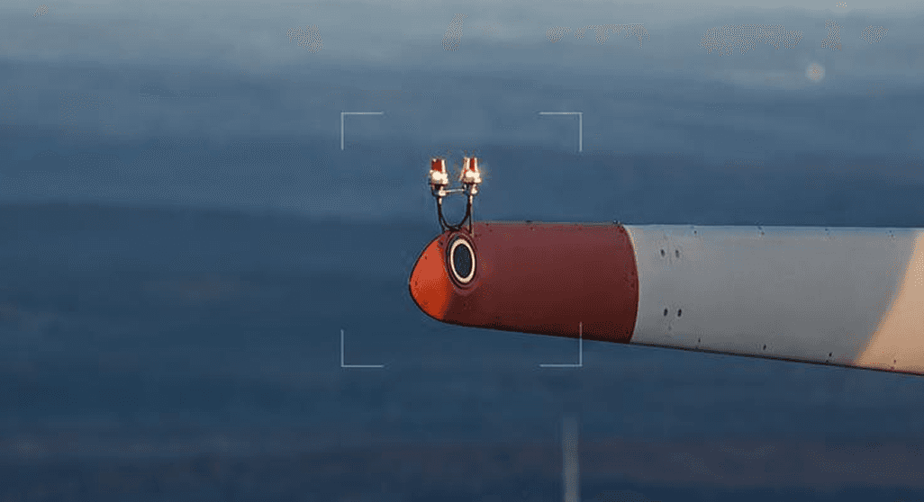
High-resolution cameras

Up to 200x zoom for inspecting structures, facades, and roofs without scaffolding or lifts.

WHO WE SERVE

Trusted by teams in every industry that flies.

LET'S GET YOU FLYING

Ready to scale your UAV program?

Whether you're buying your first drone or building out a fleet, our team is ready to help. Schedule a call, drop by the showroom, or send us a note.

10415-A Westpark Dr. Houston, TX 77042

Monday — Friday: 8:30AM-5:30PM

281-822-9892

marketing@linkedall.com

We deliver complete UAV solutions—from hardware and software to training—for industries like Oil & Gas, Public Safety, Infrastructure, and Agriculture. Let us help you launch and scale your UAV program.

SUBSCRIBE NOW

© 2025 LinkedAll Aerial Solutions. All rights reserved.