
WHY DRONES, WHY NOW
Eyes on the network that keeps everything running.
Utility networks stretch across thousands of miles of poles, lines, and stations, much of it aging and hard to reach. Drones let your team inspect it all clearly, with thermal, high-resolution, and LiDAR sensors that catch faults, hot spots, and encroachment before they cause an outage.
Inspect miles of lines and poles in a single flight
Find hot joints and faults with thermal imaging
Keep crews off poles and out of bucket trucks
Map vegetation encroachment along the corridor

USE CASES
Built for the work that keeps the network up.
From distribution poles to transmission corridors, our platforms support utility teams every day.

Inspect conductors, insulators, and pole-top hardware with high-resolution and thermal sensors to find faults without climbing.

Scan substation equipment for hot spots and faults with radiometric thermal, capturing detail from a safe distance inside the fence.

Map vegetation encroachment along corridors with LiDAR to prioritize trimming and reduce wildfire and outage risk.

Inspect tanks, reservoirs, and treatment facilities from above, documenting conditions without confined-space entry.
The drones we put to work in the field.
Field-proven platforms and payloads for the inspections utility teams run every day.


SENSOR CAPABILITIES

01 / Thermal
Radiometric thermal imaging
Identify hot joints, faulty connections, and overheating equipment on lines and in substations with calibrated readings.
02 / Optical
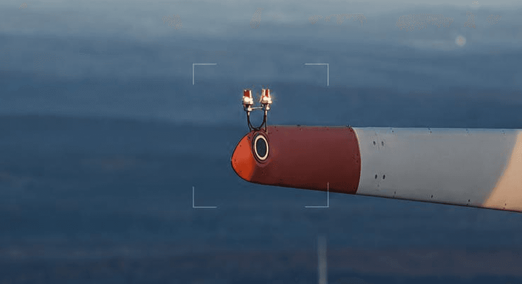
High-resolution zoom cameras
Up to 200x zoom to inspect insulators, conductors, and hardware from a safe standoff distance.

03 / LiDAR
LiDAR systems
Survey-grade point clouds for corridor modeling, ground clearance, and vegetation encroachment analysis.

04 / Range
Long-range flight
Up to 55 minutes of flight time and miles of corridor coverage per mission, with encrypted data links.
WHO WE SERVE


