
WHY DRONES, WHY NOW
A safer, clearer view of every scene and operation.
From active incidents to large public events, ground-level information leaves gaps. Drones give command a real-time overhead view, with thermal, zoom, and mapping sensors that improve awareness, document evidence, and help keep officers and the public safe.
Get an overhead view of any scene within minutes
Track movement day or night with thermal imaging
Keep officers at a safe standoff distance
Capture court-admissible scene documentation

USE CASES
Built for the work that protects and serves.
From investigations to crowd management, our platforms support agencies and command teams every day.

Document crime and collision scenes as survey-grade orthomosaics and 3D models in minutes, preserving evidence and reopening areas sooner.

Stream a live overhead feed to command during active scenes and barricaded situations, giving decision-makers the full picture from safety.

Maintain situational awareness over large gatherings, parades, and events to manage flow, spot issues early, and coordinate response.

Cover wide areas with thermal imaging to locate people day or night, supporting searches and operations while keeping officers safe.
The drones we put to work in the field.
Field-proven platforms and payloads for the operations law enforcement teams run every day.


SENSOR CAPABILITIES

01 / Thermal
Radiometric thermal imaging
Detect heat signatures to locate and track people in darkness and dense cover, while keeping officers at a safe distance.
02 / Optical
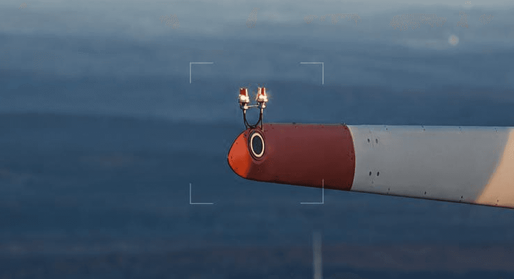
High-resolution zoom cameras
Up to 200x zoom for reading detail, observing active scenes, and monitoring perimeters from a standoff distance.

03 / Mapping
Photogrammetry and LiDAR
Survey-grade orthomosaics and 3D point clouds for crash and crime scene reconstruction that holds up to scrutiny.

04 / Live Feed
Real-time downlink
Stream encrypted video straight to incident command, with up to 55 minutes of flight time per operation.
WHO WE SERVE


