
 NEW
HIGH-ACCURACY SCANNER
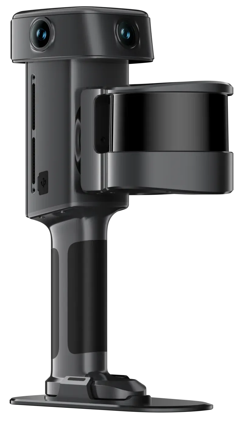
Lixel L3
Validated 5 mm accuracy with 4K HDR true color and built-in RTK.
- Relative accuracy
- 5 mm*
- Point rate
- 640,000 pts/s
- Range
- 0.7–120 m
AUTHORIZED XGRIDS DEALER
XGRIDS Lixel scanners and PortalCam capture true-color point clouds, meshes and photorealistic 3D Gaussian Splatting in a single pass. LinkedAll supplies the hardware and software, and a team that can show you how it fits your projects.
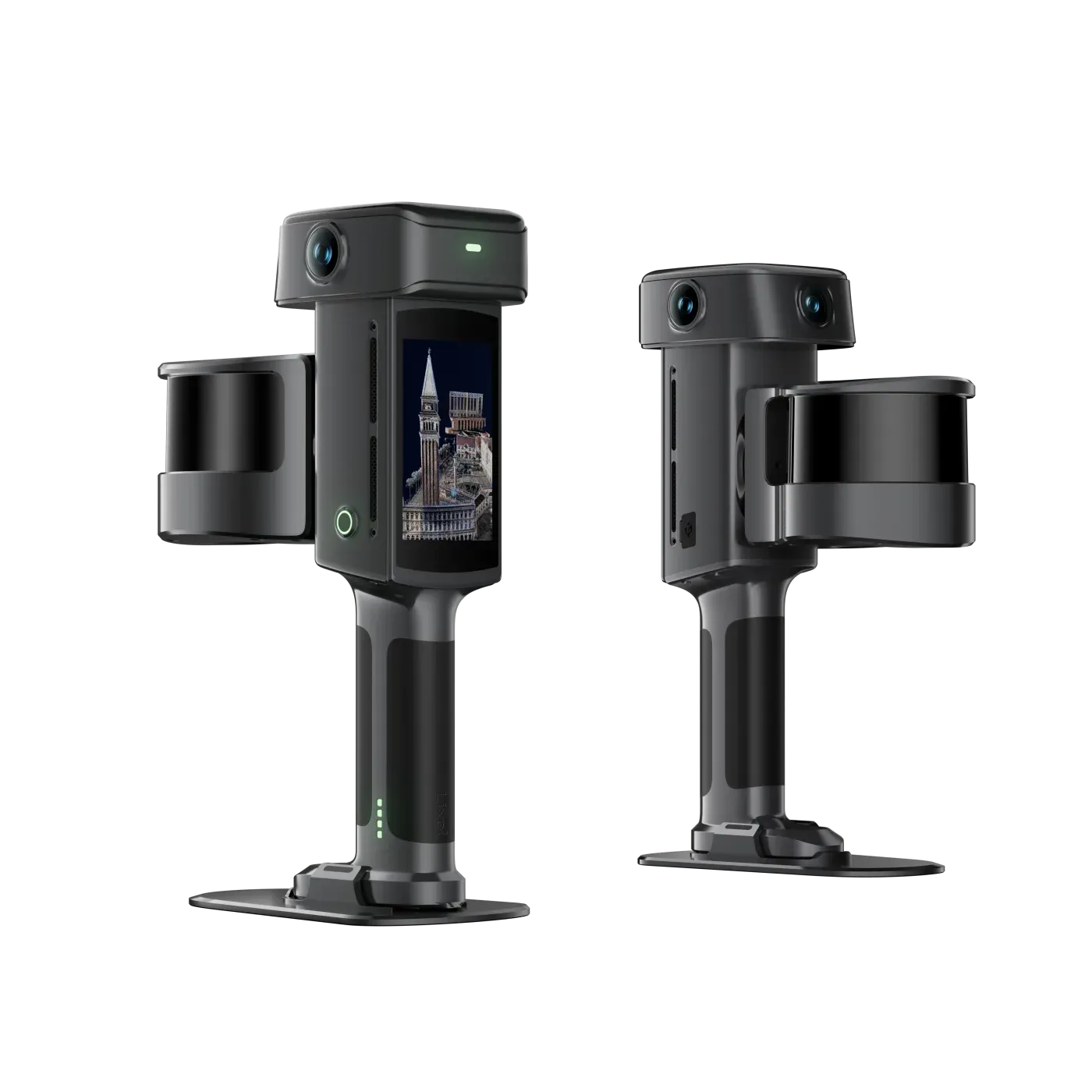
NEW · LIXEL L3 · LAUNCHED SEPT 2026
*Post-processed relative accuracy, 1σ, measured by XGRIDS in a dedicated 500 m² test environment.
THE LINEUP
NEWHIGH-ACCURACY SCANNER
Validated 5 mm accuracy with 4K HDR true color and built-in RTK.
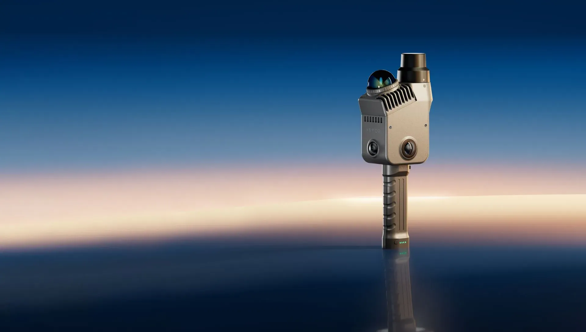
LIGHTWEIGHT SCANNER
Measurement-ready point clouds from a 1.2 kg scanner with built-in RTK.
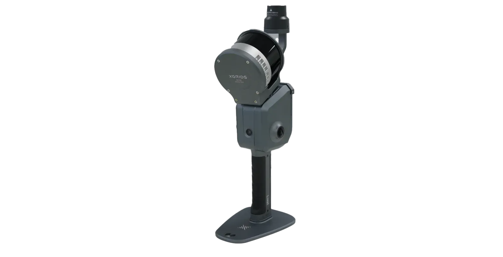
LARGE-AREA SCANNER
Real-time colored point clouds for large sites, tunnels and underground work.
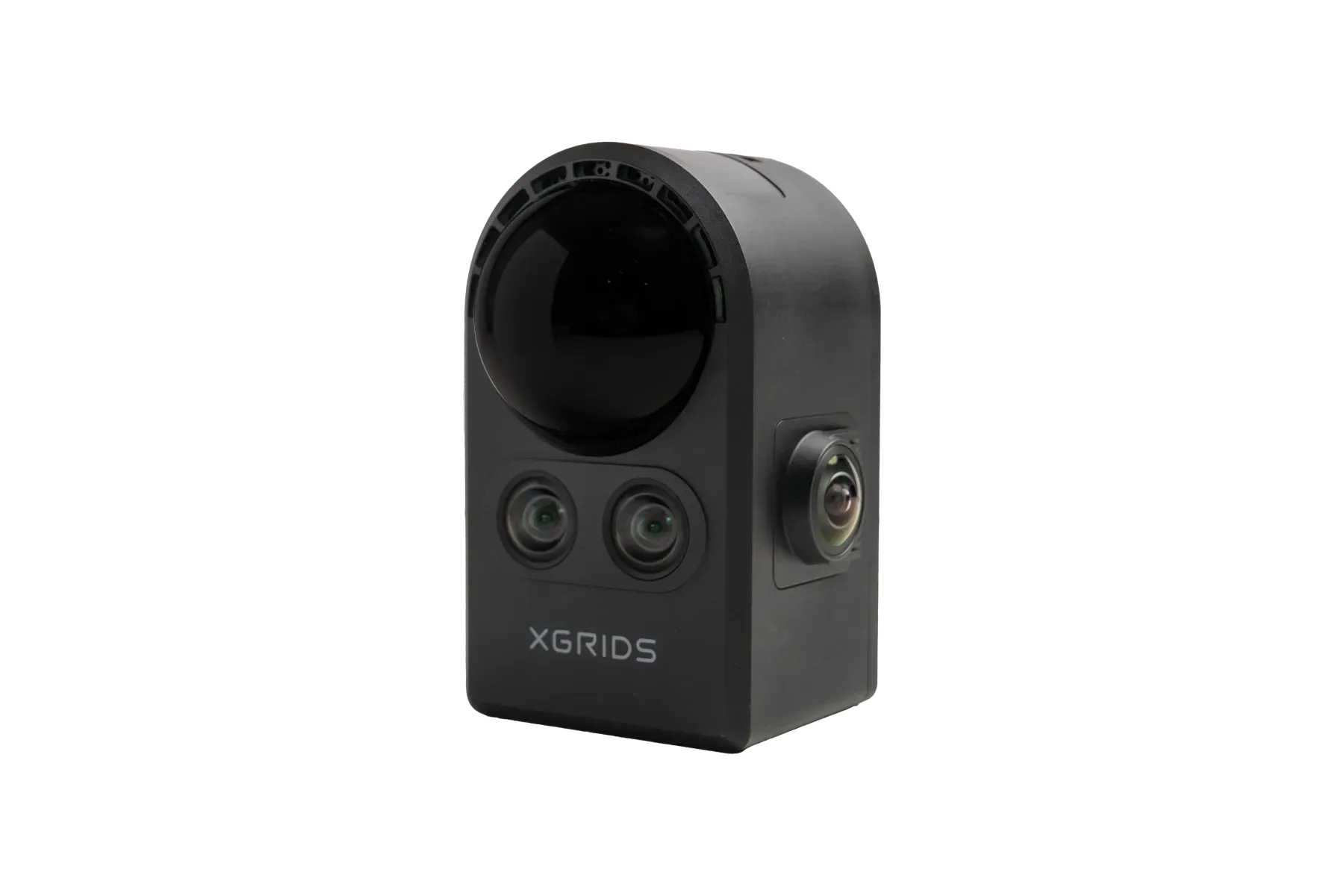
SPATIAL CAMERA
Walk a 3,000 sq ft home in about 15 minutes and share it as a photorealistic 3D scene.
ONE SCAN, THREE OUTPUTS
The same capture produces a measurable point cloud, a textured mesh and a photorealistic 3D Gaussian Splatting scene, so survey, design and visualization teams work from one source.
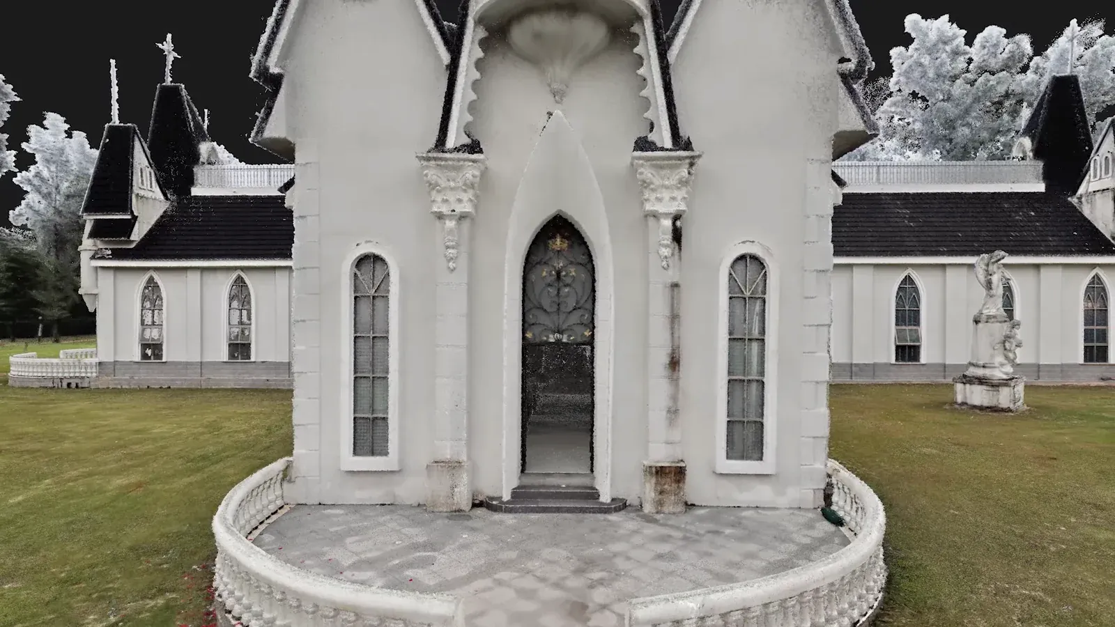
01 · MEASURE
Accurate geometry and natural site color for measurement, CAD drafting, BIM and engineering work.
.las · .e57 · .rcp · .ply
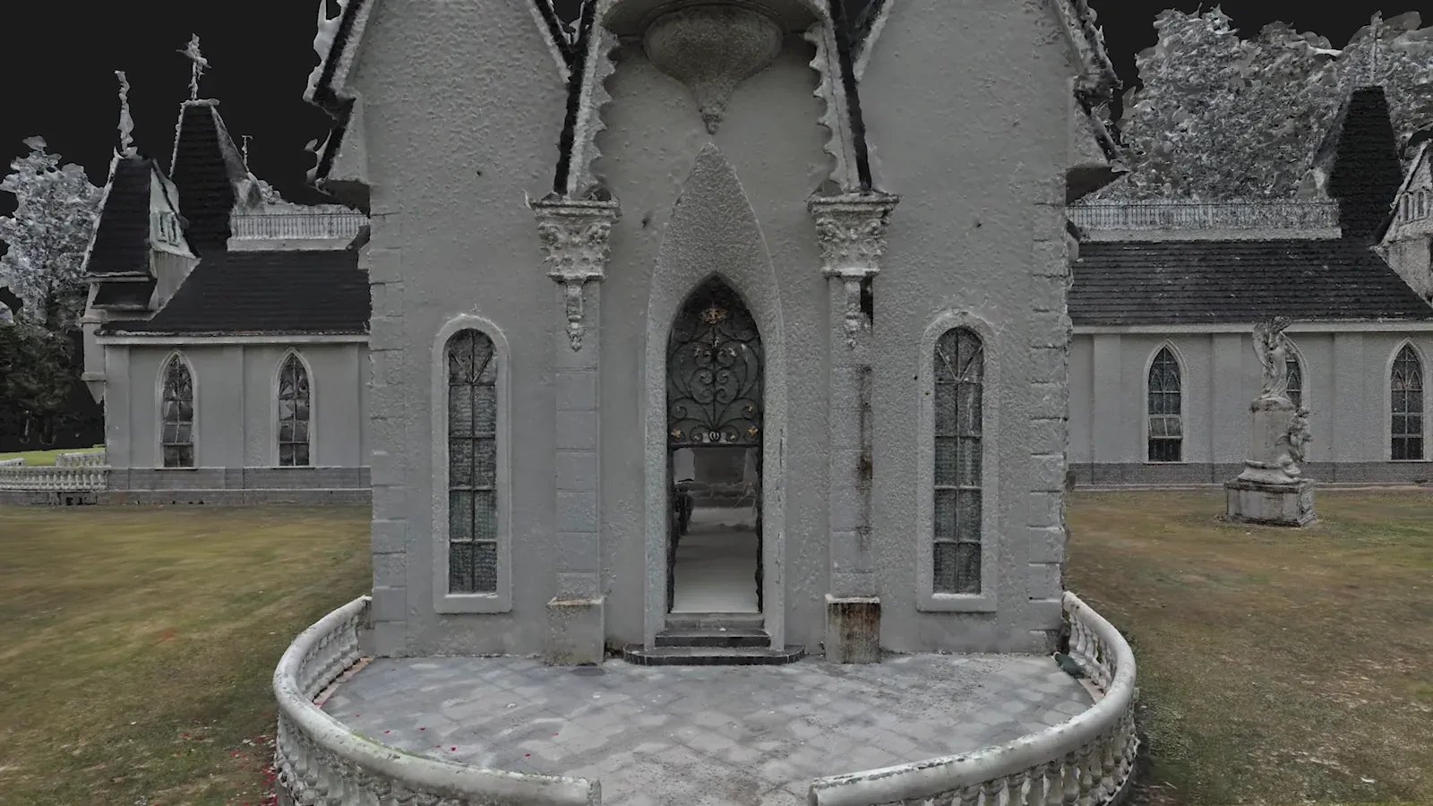
02 · MODEL
Detailed surfaces, texture and structural lines for modeling and visualization.
.obj · .osgb
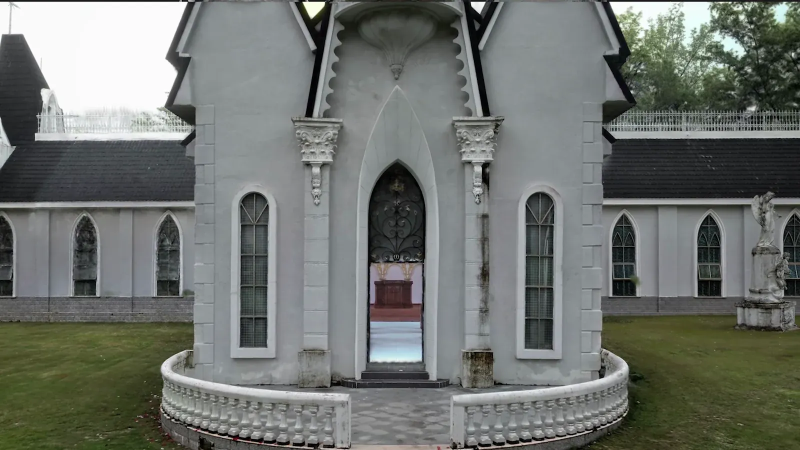
03 · EXPERIENCE
Photorealistic, immersive scenes for digital twins, location scouting, virtual production and simulation.
.lcc2 · .ply · 3D Tiles · .usd
COMPARE
| SPEC | Lixel L3NEW | Lixel K2 | Lixel L2 Pro | PortalCam |
|---|---|---|---|---|
| Best for | Survey-grade AEC, as-built and scan-to-BIM | Everyday small-to-mid projects, real estate, heritage | Large areas, tunnels, underground, drone and vehicle kits | Property tours, film location scouting, 3D content |
| Relative accuracy | 5 mm (post-processed, 1σ) | 1 cm (lab, within 10 m) | 1 cm processed · 2 cm real-time | Not specified |
| Absolute accuracy | 2 cm RMSE | 3 cm RMSE | 3 cm | Not specified |
| Range | 0.7–120 m | Up to 100 m | 0.5–120 m† | 0.1–30 m at 10% reflectivity |
| Point rate | 320,000 / 640,000 pts/s | 200,000 pts/s | 320,000 / 640,000 pts/s | 856,000 pts/s |
| Cameras | 3 cameras, 1/1.3″ CMOS, 4K HDR | 3 cameras, 1/2″ CMOS | 2 × 48 MP panoramic | 4 cameras, 1/2″ CMOS |
| RTK | Built-in, survey-grade | Built-in | Standard RTK module | Not listed |
| Weight · battery | ≈2.5 kg · 100 min | ≈1.2 kg · 1.5 h | 1.7 kg · 1.5 h | 870 g · 60 min |
| Outputs | Point cloud · Mesh · 3DGS | Point cloud · Mesh · 3DGS | Colored point cloud | 3DGS via LCC Studio |
| Details | View Lixel L3 | View Lixel K2 | View Lixel L2 Pro | View PortalCam |
Specifications from XGRIDS. Accuracy figures apply under XGRIDS' stated test conditions; ask us for the details behind any number. †XGRIDS also lists a 0.5–300 m range for L2 Pro.
SOFTWARE
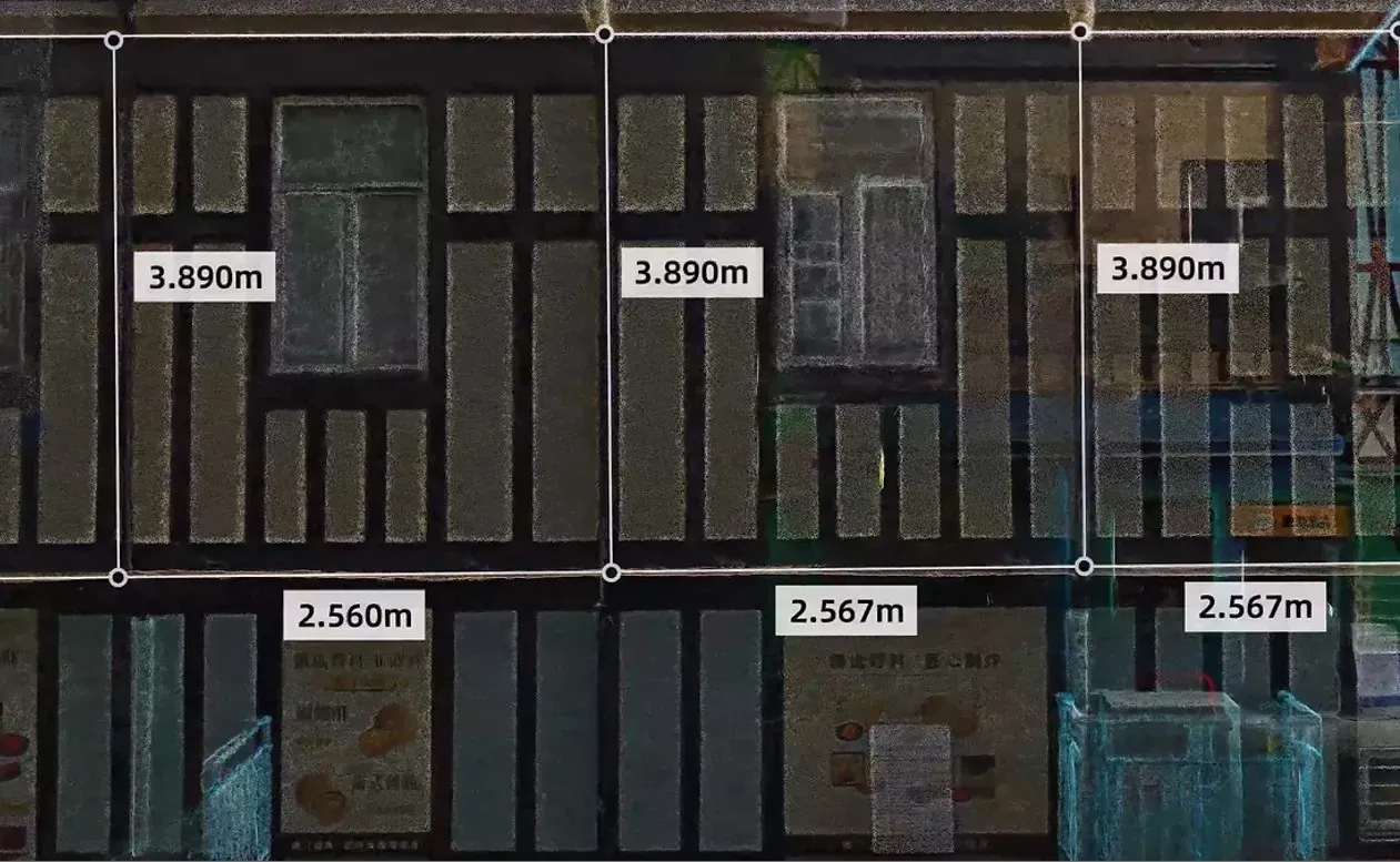
LIXELSTUDIO 4.0
8%
An .lcc2 file can be as small as 8% of the original .ply, with the same visual quality.
LIXEL CYBERCOLOR (LCC) 2.0
APPLICATIONS
As-built capture, renovation surveys, progress tracking and scan-to-BIM.
Construction industry page →RTK-georeferenced point clouds, control-point-free map fusion and CAD-ready exports.
Surveying industry page →Pipework, railings and nameplates captured in true color for facility digital twins.
Oil & gas industry page →Multi-SLAM keeps scans stable in tunnels, subways and low-feature corridors.
Utilities industry page →Photorealistic virtual tours of multi-story properties, captured at walking speed.
See PortalCam →3DGS scenes for location scouting and previs in Unreal Engine, and simulation in NVIDIA Isaac Sim.
See LCC software →WHY LINKEDALL
See the scanners on your own site and review sample data before you buy.
Pair Lixel ground scans with the aerial LiDAR we already supply. Lixel L3 and L2 Pro also offer drone and vehicle mount kits.
Onboarding and field training for your crew, from first scan to final deliverable.
BOOK A DEMO
Tell us what you need to capture. We'll set up a live demo, share sample data and put together the right kit and quote.