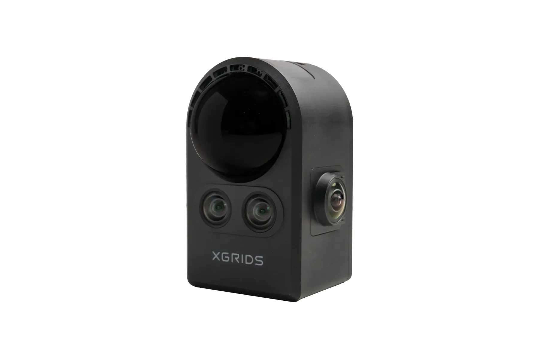
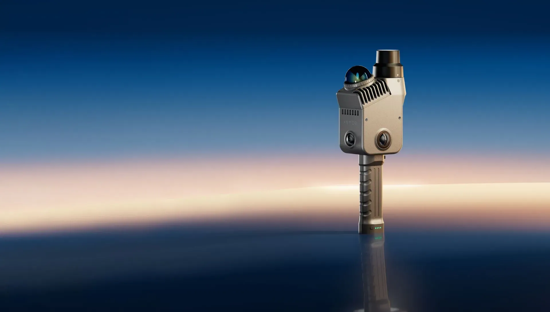
Lixel L3, front view

HIGH-ACCURACY SPATIAL SCANNERNEW

Lixel L3

Validated 5 mm. Accuracy meets photorealism.

  • 5 mm post-processed relative accuracy, 2 cm absolute (RMSE)
  • Three cameras with 1/1.3″ CMOS and 4K HDR true color
  • Built-in survey-grade RTK with real-time loop closure
  • Point cloud, mesh and 3DGS from a single capture
  • 4.3″ 1,000-nit display, no phone required
  • Up to 640,000 pts/s over a 0.7–120 m range
Request specifications and sample data
Relative accuracy*
5 mm
Points per second
640K
Maximum range
120 m
Operating time
100 min

VALIDATED ACCURACY

A 5 mm figure you can explain to your client.

XGRIDS backs L3's accuracy with a documented test method, measurement data and stated test conditions, so your team can explain not only the number but where it applies.

Ask about the accuracy test method
Relative accuracy, post-processed
5 mm
Absolute accuracy (RMSE)
2 cm
Real-time relative accuracy
1 cm
Real-time absolute accuracy
2.5 cm
Levelness with RTK fusion
0.005°
Built-in RTK
H 0.8 cm + 1 ppm
V 1.5 cm + 1 ppm

*Figures as stated by XGRIDS, at 1σ. Tested in a dedicated 500 m² environment. Real-world results depend on site conditions and workflow.

ONE SCAN, THREE OUTPUTS

One visit. Multiple professional deliverables.

POINT CLOUD

Measure and draft

True-color geometry for measurement, CAD drafting, BIM and engineering work.

.las · .rcp · .e57 · .ply
MESH

Model and visualize

Detailed surfaces, texture and structural lines for modeling and presentation.

.obj · .osgb

3D GAUSSIAN SPLATTING

Experience and simulate

Photorealistic scenes for digital twins, location scouting, virtual production and simulation.

.lcc2 · .lcc · .ply · 3D Tiles · .usd

CONNECTS TO
  • CAD & Scan-to-BIM
  • Unreal Engine
  • NVIDIA Isaac Sim
  • COLMAP datasets
  • SDKs & plugins

KEY FEATURES

Why survey teams choose the Lixel L3

Imaging-grade true color

A 1/1.3-inch sensor and 4K HDR bring natural color, material and light detail. Enhance railings, pipework or nameplates locally without reprocessing the whole dataset.

Usable results in the field

Integrated RTK, real-time loop closure, levelness optimization and AI filtering cut drift and remove people, vehicles and noise as you scan.

Smoother field operation

The 4.3-inch, 1,000-nit display shows point cloud, trajectory and coverage. A support rig, control point tip and survey-pole connection make control points easier.

Merge scans without control points

LixelStudio local reconstruction joins multiple scan segments through region-selection matching.

Privacy-ready delivery

Automatic face and license plate detection and blurring, before public-space data is shared.

Open data for your workflow

Access perspective images, COLMAP datasets, original images and intermediate 3DGS data, plus SDKs and plugins.
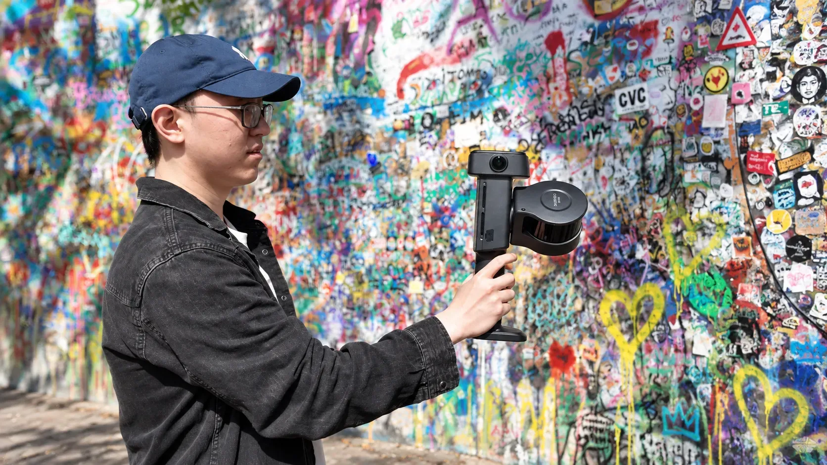
Operator scanning a graffiti-covered wall with the Lixel L3
HANDHELD CAPTURE
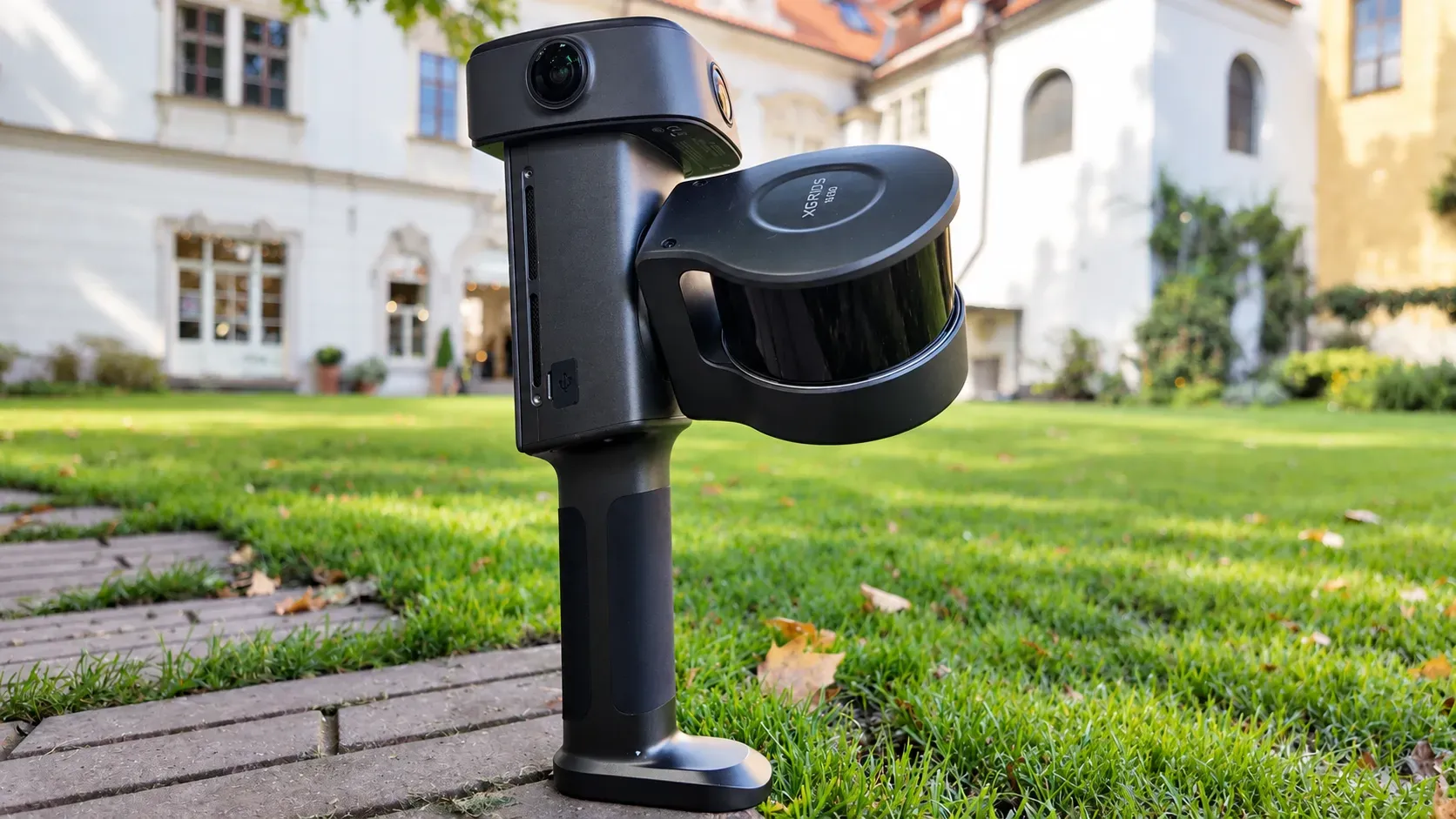
Lixel L3 on a garden path in front of a historic building
HERITAGE AND FACADES

TECHNICAL SPECIFICATIONS

Specs at a Glance

Model
Lixel L3, 16- or 32-channel
Weight
Approx. 2.5 kg with battery
Dimensions
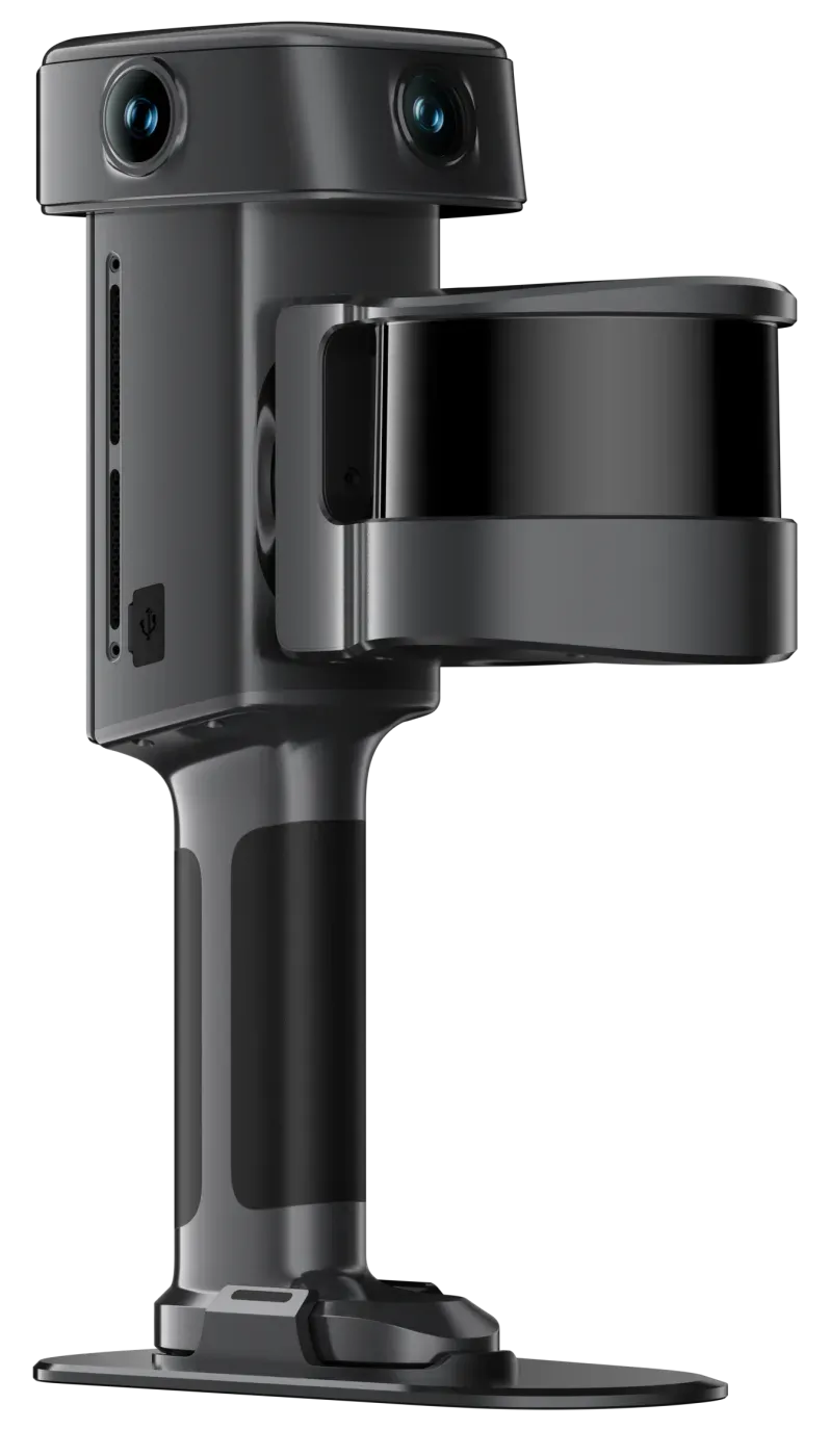
206 × 107 × 329 mm
LiDAR range · FOV
0.7–120 m · 360° × 270°
Point rate
320,000 / 640,000 pts/s
Cameras
2 panoramic (200° × 200°) + 1 forward (100° × 75°), 1/1.3″ CMOS, 4096 × 3072
Accuracy
5 mm relative (post-processed, 1σ); 2 cm absolute (RMSE)
RTK
Built-in; H 0.8 cm + 1 ppm, V 1.5 cm + 1 ppm
Battery
14.4 V, 3,350 mAh; 100 min operating time
Display · storage
4.3″, up to 1,000 nits · 1 TB UFS
Protection
IP54; −20 °C to 50 °C
Output formats
.las .rcp .e57 .ply .ilas · .osgb .obj · .lcc2 .lcc · 3D Tiles · .usd

BOOK A DEMO

See XGRIDS scanning on your own project.

Tell us what you need to capture. We'll set up a live demo, share sample data and put together the right kit and quote.
Interested in

Prefer to talk? Call 281-822-9892.