
HANDHELD SPATIAL CAMERA

PortalCam

The first true spatial camera.

Walk through a space while recording and turn it into a photorealistic 3D Gaussian Splatting scene. Digitize a 3,000 sq ft multi-story property in about 15 minutes.
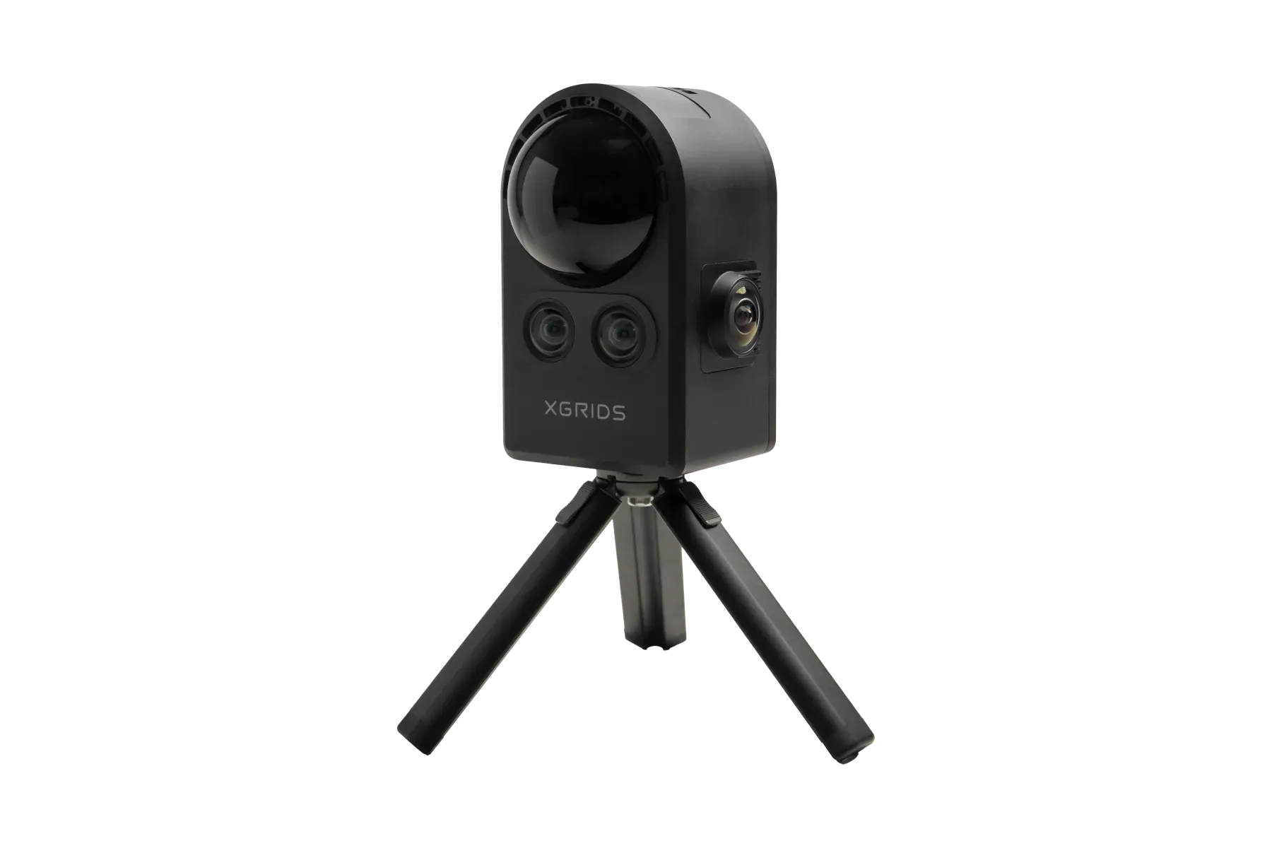
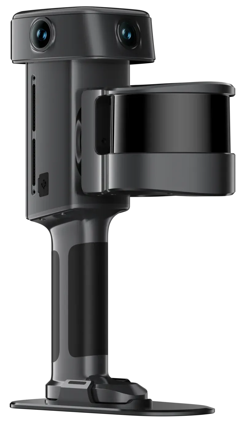
PortalCam on its tripod
  • LIDAR + 4 CAMERAS
  • ON-DEVICE MULTI-SLAM
  • 870 G
Per 3,000 sq ft property
15–20 min
Points per second
856K
Body weight
870 g
Continuous scanning
60 min

HOW IT WORKS

Capture, process, share. That's the whole workflow.

  1. 01

    Capture

    Walk the space while recording. Monitor coverage live in the LCC Scan app on your phone.

  2. 02

    Process

    Reconstruct the scene in LCC Studio as a lightweight 3D Gaussian Splatting model.

  3. 03

    Share

    Edit, annotate and publish to web, mobile, VR or game-engine viewers.

WHO IT'S FOR

Spaces people want to walk through.

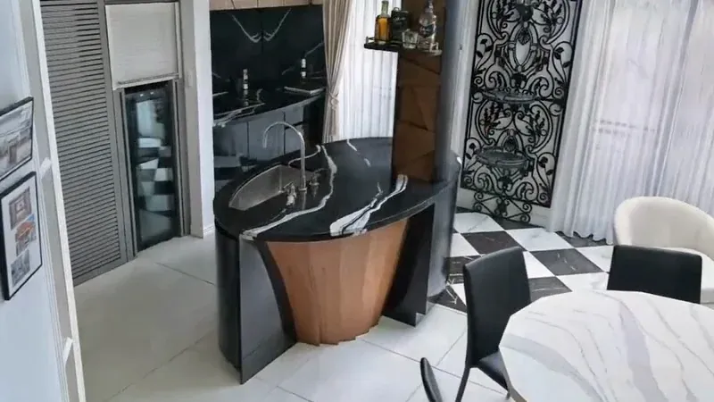
Kitchen and dining area of a multi-story home

Real estate

Photorealistic virtual tours of homes and multi-story properties, captured at walking speed.
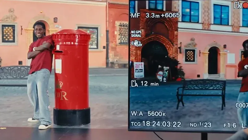
Actor beside a red post box on a virtual production stage, with the camera monitor in view

Film and virtual production

Location scouting, previsualization and virtual production with true-to-life 3D sets.
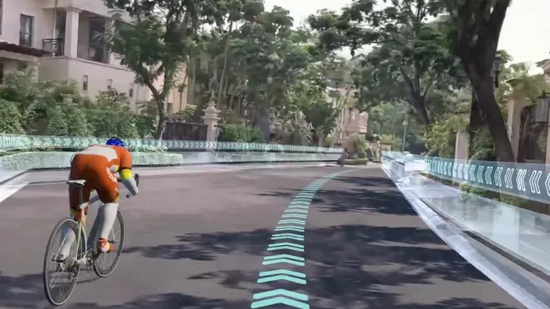
Virtual cycling route through a residential street scene

Facilities and content

Shareable 3D records of venues, interiors and sites for teams and audiences.
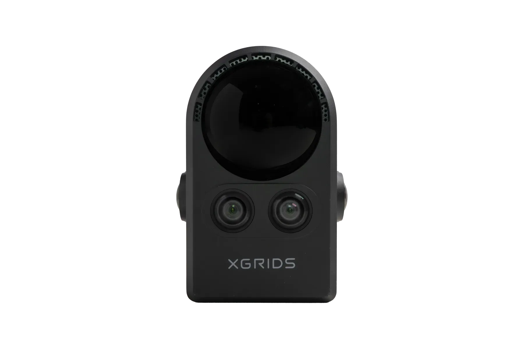
PortalCam front view showing the LiDAR window and two front cameras

INSIDE THE CAMERA

LiDAR for structure. Four cameras for realism.

LiDAR-based structure
Keeps spatial relationships accurate from interiors to street views.
Four-camera coverage
Two fisheye cameras capture wide angles; two front cameras record fine detail.
On-device Multi-SLAM
Sensor data is fused into a spatial model on the camera itself.
In the box
Backpack with protective insert. Optional phone mount, 2 m extension pole and 512 GB or 1 TB external SSD.

TECHNICAL SPECIFICATIONS

Specs at a Glance

Weight · size
870 g (1.9 lb) without tripod · 130 × 90 × 77 mm
LiDAR
Class 1, 940 nm; 180° × 180° FOV
Range
0.1–30 m at 10% reflectivity; 60 m at 90%
Point rate
856,000 pts/s
Cameras
2 fisheye (200° × 200°) + 2 front (100° × 85°), 1/2″ CMOS, 4000 × 3000
Storage · connection
512 GB, USB 3.0 · Wi-Fi 6, Bluetooth 5.2
Battery
Removable 23.04 Wh; 60 min continuous scanning
Charging
0–90% in 70 min; 0–100% in 90 min
Operating temperature
−20 °C to 45 °C, indirect sunlight only

BOOK A DEMO

See XGRIDS scanning on your own project.

Tell us what you need to capture. We'll set up a live demo, share sample data and put together the right kit and quote.
Interested in

Prefer to talk? Call 281-822-9892.